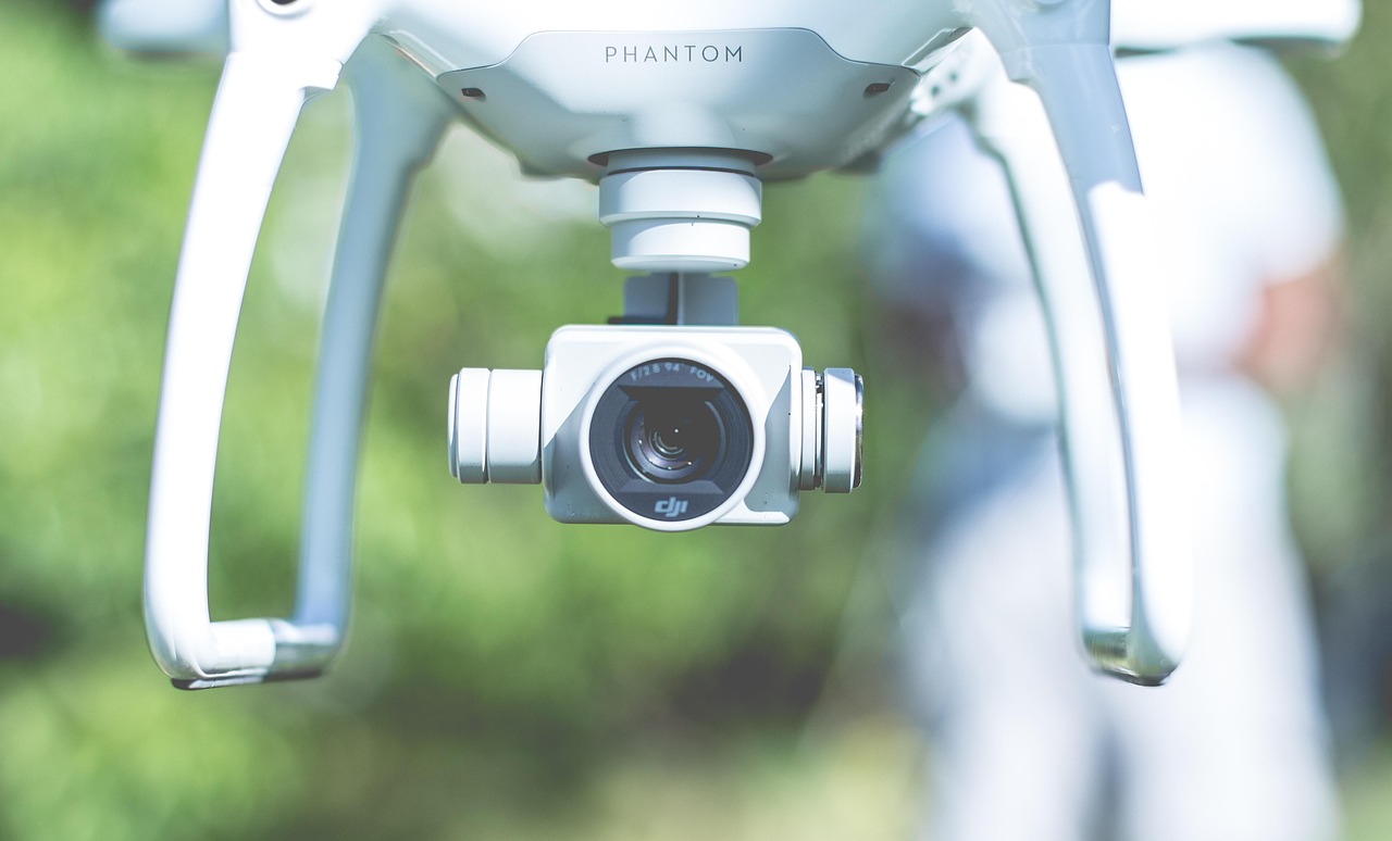
Drones aren’t toys—they’re tools that can save AEC pros time, money, and headaches on infrastructure projects. I’ve spent years mapping sites, modeling terrain, and inspecting bridges as a civil engineer and through my drone service, Clear Sky Aerials. Here are five field-tested hacks to make your drone workflows faster and your deliverables sharper. Steal these and level up your game.
1. Nail Flight Planning with Overlap Math
Screw up your flight overlap, and your photogrammetry software spits out garbage. For 2D maps—like the construction progression flights I do for clients—set your drone to 80% front overlap and 70% side overlap. Why? It ensures enough image redundancy for clean stitching, especially on complex sites like urban grids or hilly terrain. Use an app like DroneDeploy or Pix4Dcapture, input those numbers, and fly a grid pattern at 200 feet AGL. Last month, I mapped a construction site in 20 minutes flat because I didn’t waste time reshooting gaps.
2. Cut Processing Time with Selective Exports
Clients don’t need every blade of grass in 4K. After a flight, I export orthomosaics at 2-3 cm/pixel resolution instead of maxing out my software. It slashes processing time by 50%—a 100-acre site that took 3 hours in Pix4D now takes 90 minutes. For inspections, skip the full 3D model unless they ask; a point cloud or DSM (digital surface model) often does the trick. Focus on what they’ll actually use, not what looks cool.
3. Pre-Flight the Invisible Stuff
Your drone doesn’t care about your excuses when it smacks a power line. Before takeoff, scout the site on Google Earth for hazards—towers, wires, trees—then cross-check with your client’s site plans. I dodged a $5,000 mistake on a railroad crossing job by spotting a sneaky utility pole that wasn’t on the drawings. Walk the perimeter if you can; 10 minutes beats a crashed Mavic.
4. Stack Missions for Multi-Use Data
One flight, multiple wins. On a recent Clear Sky gig, I flew a bridge site for a 2D map but doubled the altitude to 300 feet and added oblique shots (45-degree gimbal tilt). That single 25-minute mission gave me an ortho for the engineer, a 3D model for the architect, and inspection stills for the contractor. Plan your flight path once, tweak the settings, and milk it for every deliverable they might need—saves you a second trip.
5. Calibrate Like a Pro, Not a Rookie
Your compass and IMU (inertial measurement unit) are your drone’s brain—don’t let them get fuzzy. Calibrate both before every flight, even if DJI’s app says “Good to Go.” I learned this the hard way when a wonky heading threw off a site map by 10 meters. Takes 2 minutes: spin the drone horizontally, then vertically, away from metal or concrete. Do it, or your data’s junk and your rep’s toast.
These hacks aren’t theory—I use them on real jobs, from railroad crossings to construction sites. Want more? Drop your email in the box below for free AEC drone tips I don’t post here. Next up: how I turned a 15-minute flight into a client’s full site model. Stay tuned.